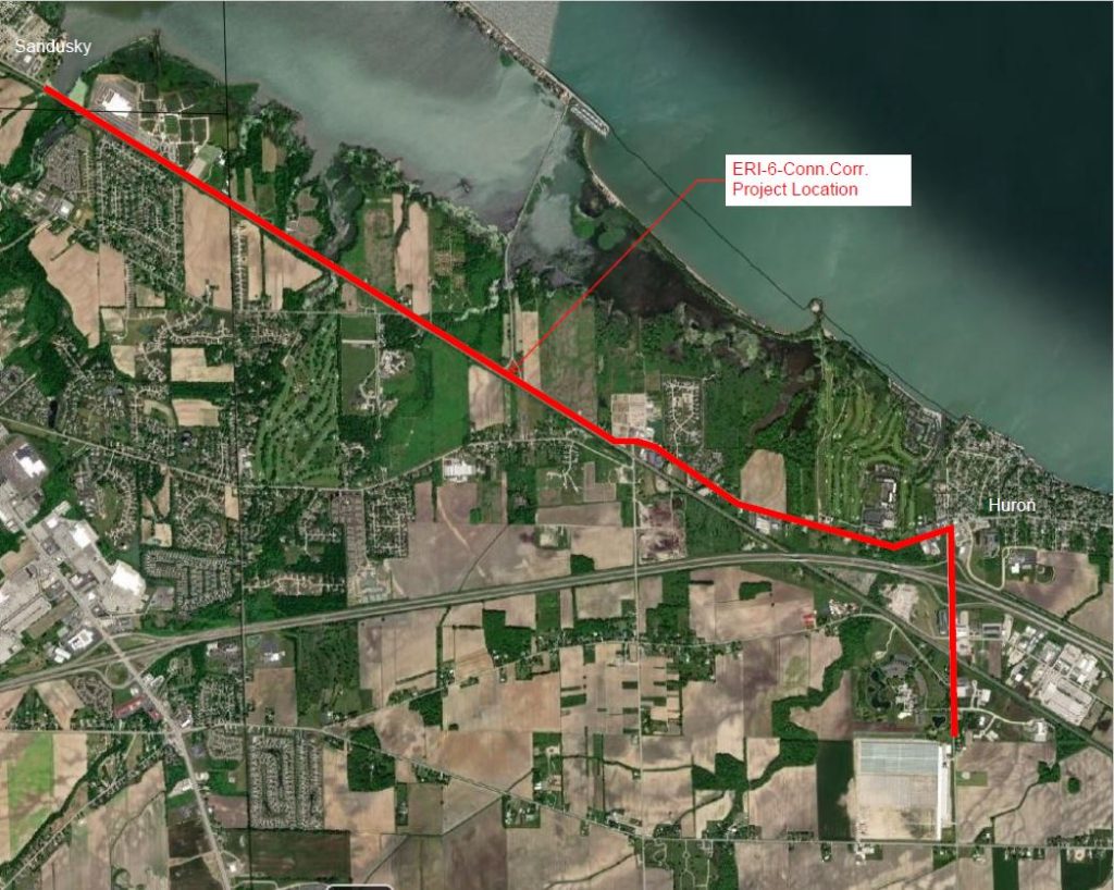
KS Associates is leading a major survey effort for the ERI 6 Connectivity Corridor project, under contract with the Ohio Department of Transportation (ODOT) District 3. This long-awaited five-mile $34.6 million transportation infrastructure improvement in Erie County consists of converting five intersections into single-lane modern roundabouts, installing a continuous two-way left turn lane through a portion of the corridor, extension of the Sandusky Bay Pathway multi-use path, and installing a new multi-use path along US 6 and Rye Beach Road to connect the Sandusky Bay Pathway to the City of Huron. The ultimate goal is to enhance safety, increase efficiency, improve transportation options, and increase community connectivity across Erie County.
KS Associates has led all surveying and Right-of-Way plan development services for the project, which commenced in November 2022. All deadlines for this significant survey effort have been met, including the delivery of a 162-page Right-of-Way plan set that included 112 legal descriptions and impacts to 162 parcels.
To meet the schedule, KS included OHM Advisors and O.R. Colan on the team. The combined forces of KS and OHM allowed for multiple survey crews to be deployed at the same time to complete the field survey. O.R. Colan provided land record research to assist in the property line and right-of-way determination.
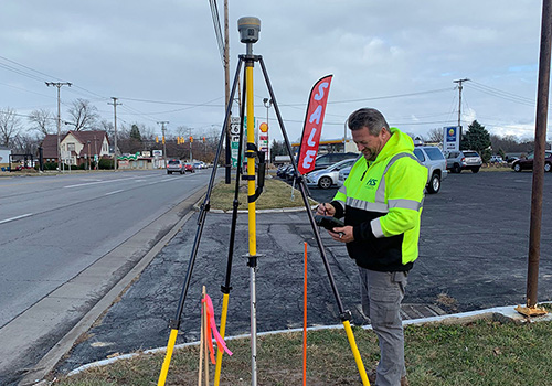
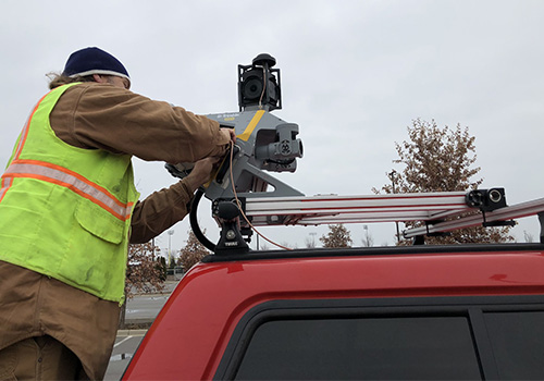
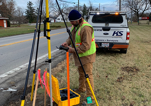
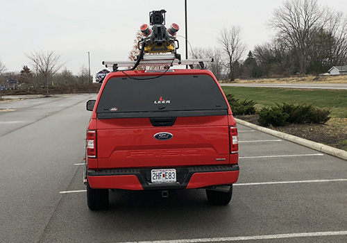
To enhance efficiencies in the field, the team utilized a Terrestrial Mobile LiDAR System (TMLS) in addition to conventional field surveying. Surveyors obtained pavement locations and elevations using the TMLS. The TMLS improved safety by reducing the need to physically stand in the roadway to acquire data — important considering the project includes 45 to 55 mph speed limits. The TMLS also helped to save time by locating features near the roadway such as signs, utility poles, and guardrails.
This $34.6 million project was made possible in part by a $24.5 million U. S. Department of Transportation Rebuilding American Infrastructure with Sustainability and Equity (RAISE) grant, awarded to the City of Sandusky in August 2022.