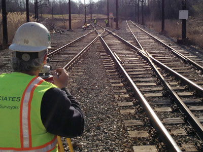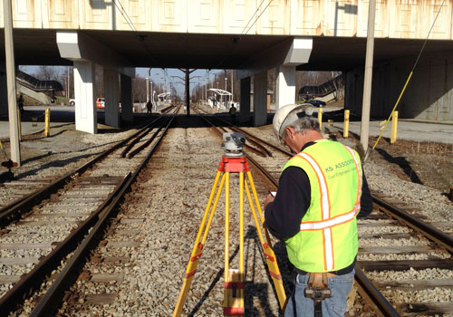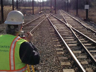
KS Associates was under contract with Greater Regional Transit Authority (GCRTA) to provide surveying services for the Complete Rail Survey project. GCRTA’s goal was to obtain accurate, proprietary information depicting existing conditions of 62 miles of rail lines and associated infrastructure. This was an important project for GCRTA, as the data collected and mapped serves as a keystone for GCRTA’s Asset Management, GIS, Rail Maintenance, and future projects.
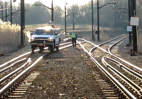
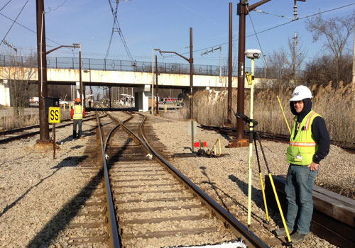
Terrestrial Mobile LiDAR Scanning (TMLS) was performed to acquire the majority of the data for the mapping. Terrestrial Static LiDAR Scanning (TSLS), or 3D Laser Scanning, was performed in key areas underground including Tower City and the Red Line Airport Tunnel. KS Associates provided the most economical survey to GCRTA by using this methodology. This approach also offered safety advantages and minimized disruption to GCRTA’s rail operations — the KS team completed the Mobile LiDAR scanning work during GCRTA’s shut-down periods. The survey also provided an elevation/Bench Mark Circuit and track geometry along all of the rail lines.
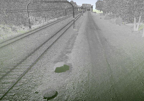
The 3D, georeferenced point cloud created with TMLS/TSLS-generated data has been useful for other design projects including GCRTA Project 14.76 On-Call Surveying Phase 3, Task 9; Project 23V5 Rehab of 9 Grade Crossings, and Project 24R E. 116th Street Station. Datasets can be extracted from this information, thereby reducing survey costs, avoiding additional site visits, and saving time and money.