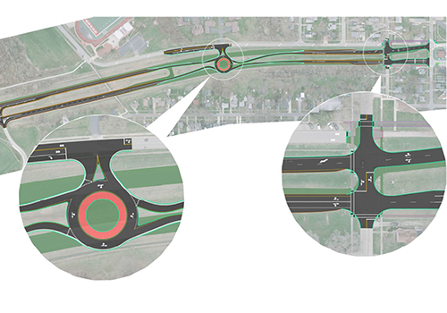
KS Associates partnered with TranSystems to deliver comprehensive surveying services for a critical ODOT District 3 LPA project aimed at improving safety and traffic flow at the intersection of Center Street and U.S. 6 in Huron, Ohio. The objective of this project is to eliminate an unwarranted traffic signal and enhance mobility at this key junction.
The proposed solution involves the installation of a new roundabout along U.S. 6. This roundabout will serve as a new access point connecting to Jim Campbell Boulevard, enabling a necessary revision of the U.S. 6 geometry in the vicinity of the Center Street intersection.
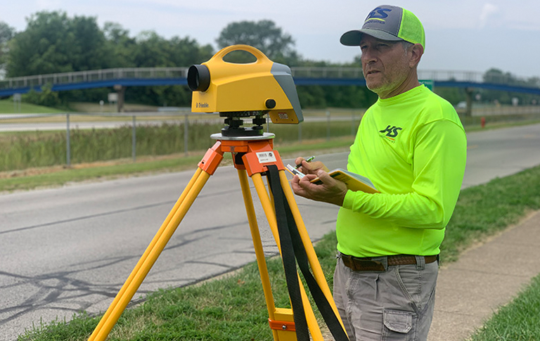
Recognizing the importance of cost efficiency, KS Associates prioritized the utilization of existing survey data. To ensure the reliability and accuracy of this data, our team conducted a thorough Quality Mapping Analysis. This involved reviewing and making necessary adjustments to guarantee an adequate level of detail for the project’s design requirements.
To optimize resource allocation, the collection of additional survey data was strategically focused on areas deemed critical to the design, particularly geometry tie-down locations. This targeted approach ensured that new data acquisition was efficient and directly supported the engineering design process.
All collected and analyzed data sources were seamlessly integrated to create a comprehensive and accurate base map using Bentley OpenRoads Designer software. This unified digital environment provided a robust foundation for the subsequent design phases.
Commitment to Safety and Proactive Problem Solving:
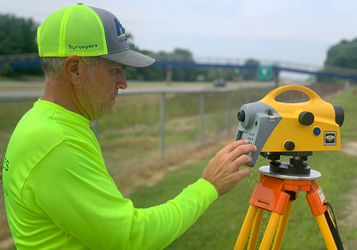
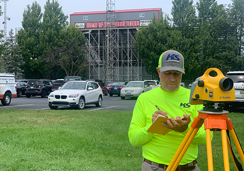
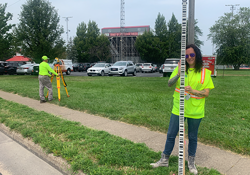
Demonstrating a strong commitment to safety, KS Associates employed terrestrial 3D laser scanning technology along the busy U.S. 6 corridor. This approach eliminated the need for field personnel to physically enter the flow of traffic, significantly reducing potential safety risks and ensuring efficient data capture.
Furthermore, during the Quality Level C utility layout phase, KS Associates’ meticulous work proved invaluable. Our team proactively identified a significant discrepancy with watermain field markings located directly beneath the footprint of the proposed roundabout. This critical finding was promptly communicated to the project team, allowing for timely resolution and preventing potentially costly and disruptive conflicts during construction.